


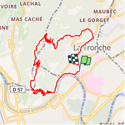

10.9 km | 26 km-effort


User


FREE GPS app for hiking
 SityTrail
IGN / Geographical institutes
SityTrail World
The world is yours!
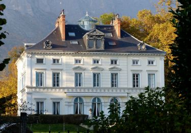
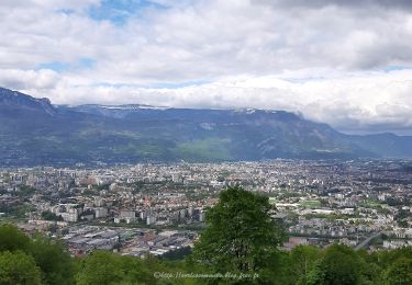
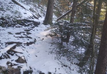
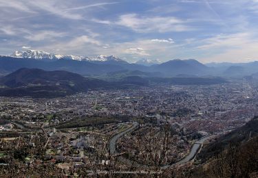
Trail Mountain bike of 11.1 km to be discovered at Auvergne-Rhône-Alpes, Isère, La Tronche. This trail is proposed by virtumanu.
Walking
Walking

Running

Mountain bike
On foot
On foot
Walking
Walking
Walking
pile ce que je recherchais